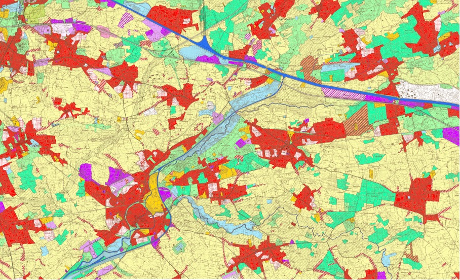
Open space in Flanders is under pressure. Every day, new open areas are being converted into built-up or paved surfaces. This leads to open space becoming increasingly scarce and fragmented.
With the building shift, the government has set the goal of no longer occupying additional open space by 2040.To achieve this goal, policies must be implemented today to slow down the consumption of open space.Province of Antwerp, as a policy maker, is working toward this objective using various policy frameworks. This is a challenging task given the patchwork of land uses across the Flemish territory. Careful consideration must be given to which open spaces can still be developed and which plots destinated for building should be neutralised to move toward efficient spatial planning.
To support efficient policy-making, a building shift supporting atlas is being developed. This atlas will provide scientific support to enable informed policy decisions. Based on various criteria that can influence these decisions, the atlas identifies which plots or areas can still be developed and which should be neutralised. Additionally, it examines which areas may be suitable for densification. This will be determined using a multi-criteria analysis (MCA) in GIS. There are lots of data available on environmental factors in the province covering themes such as water, mobility, nature, facilities, energy, infrastructure and more. However, this data has not yet been combined. This study aims to address that gap, so that decisions can be made based on multiple criteria to work toward a Flanders with efficient spatial planning, in which open space has still a place.